Demographics Data Sets
UK COVID DATA SET
Local COVID Case Counts for England, Wales and N.I.
This data set contains data daily published and history for the case counts across the U.K. Data is available at a local authority district level for Wales, Northern Ireland and England and at a health board level for Scotland.
Additionally, this data set contains the district boundaries, geographic centroid and the 2019 population estimates to help calculate cases per capita.
Retailers and CPG companies can use this data to track sales and interest of their products as local outbreaks spike or wane.
Refresh Updates and History
This data is updated daily at 3pm GMT. Data should reflect complete cases as of the previous day and partial data for the current day.
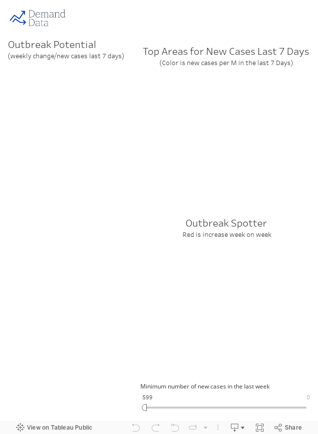
A dashboard of data can be viewed on our website or via tableau public at
https://public.tableau.com/profile/demand.james#!/vizhome/UK_EMBEDDED/Dashboard1
Fields and Definitions
Data Dictionary:
AREA_CODE: The LAD code (based on LAD19 mid-year release)
AREA_NAME: The LAD name (based on LAD19 mid-year release)
COUNTRY: Home nation
GEOGRAPHY_TYPE: Unitary Authority, Metropolitan district etc.
DATE: Date cases reported
CONFIRMED: The total cases reported through date
DAILY_CONFIRMED: The total cases reported on date
ALL_AGES: Total population in LAD district - based on 2019 mid-year estimate
0..90+: The population in age in each LAD district - based on 2019 mid-year estimate
BNG_E: The british national grid easting coordinates
BNG_N: The british national grid northing coordinates
LONG: The longitudinal centroid of the LAD
LAT: The latitude centroid of the LAD
ST_AREASHA: The geographic area of the LAD in Sqm
ST_LENGTH: The length of the boundary in m
SPATIAL_WKT: Spatial object of the LAD in well known text format.
NOTE ON SCOTLAND DATA: Historical cases are only available by health board. Case history for health boards mapped to largest district.
Sources and Conditions
Wales Sources:
https://phw.nhs.wales/topics/latest-information-on-novel-coronavirus-covid-19/
England Sources:
https://coronavirus.data.gov.uk/
Northern Ireland Sources:
https://www.health-ni.gov.uk/covid-19-statistics
Scotland Sources:
https://www.arcgis.com/home/item.html?id=5a93583e03cb4e74a1c8ff2bd8a3e89f
Population Sources:
https://www.ons.gov.uk/peoplepopulationandcommunity/populationandmigration/populationestimates
SPECIFIC TERMS:
Population data provided under the open government license which can be found:
http://www.nationalarchives.gov.uk/doc/open-government-licence/version/3/